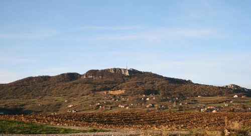
Kalnik

Kalnik is a mountain located in northwestern Croatia, most of it is in Varaždin County and a smaller portion in Koprivnica-Križevci County. The mountain is about 40 kilometers long, it stretches from east to west and it is 10 kilometers wide. It is predominantly overgrown with a pale oak forest, while its central part is covered with bare rocks and serves as a target for a large number of mountaineers, walkers, and hikers. The highest peak, Vranilac (643 m) is the control point of the HPO, while the mountain lodge is a control point of 1 ZPP.
Kalnik is crossed by a network of hiking, macadam and forest roads. There are three asphalted roads crossing the Kalnik mountain area. The northern natural boundary of the river Bednja divides the mountain from the Toplice hill in the west and from Podravina in the east.
On the west, there is Novi Marof, on the north side Ljubešćica and Varaždinske Toplice, northeast there is Ludbreg, south (18 km by road) are Križevci, and the easternmost is Koprivnica. South are other municipalities – Visoko, Gornja Rijeka, Kalnik and in the south Sveti Petar Orehovec.


